Table Mountain
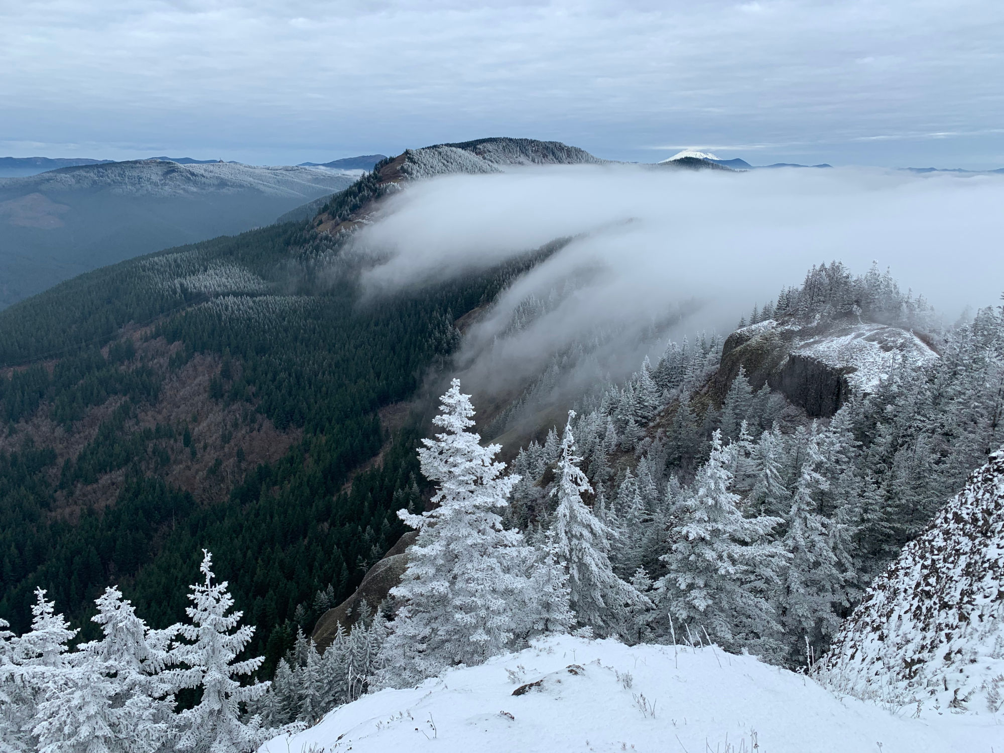
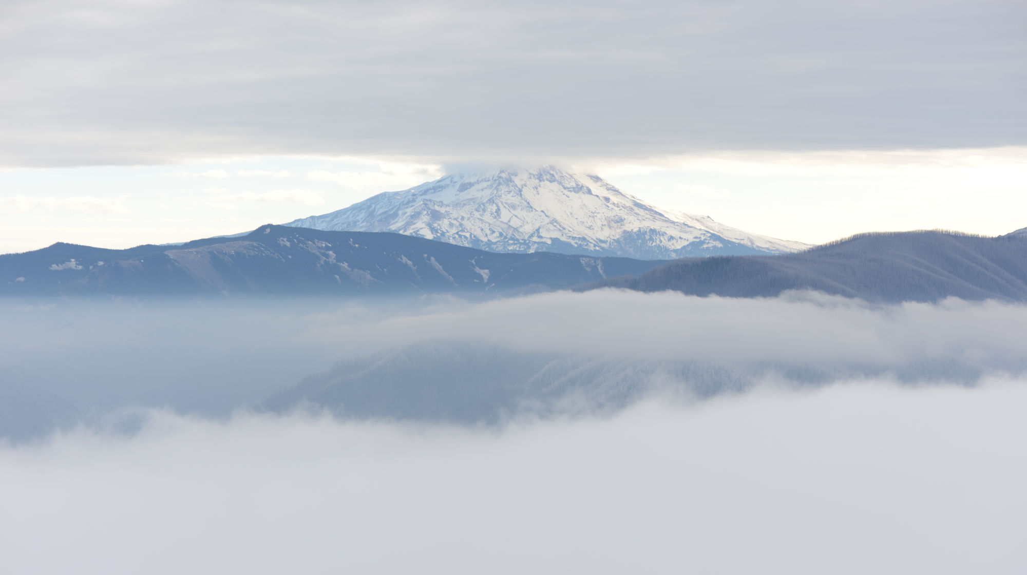
A hike up Table Mountain, sandwiched between clouds above and fog below.
On the whole, hiking up to Table Mountain is quite a nice hike despite its length from the North Bonneville Trailhead. I hiked this in early December 2023, which started with a fabulous sunrise, and went on to cloud cover being amazing instead of annoying. This mountain is the one that broke in half and crashed down into the Columbia River 600-ish years ago, creating the original Bridge of the Gods, which later collapsed sometime around 1690.
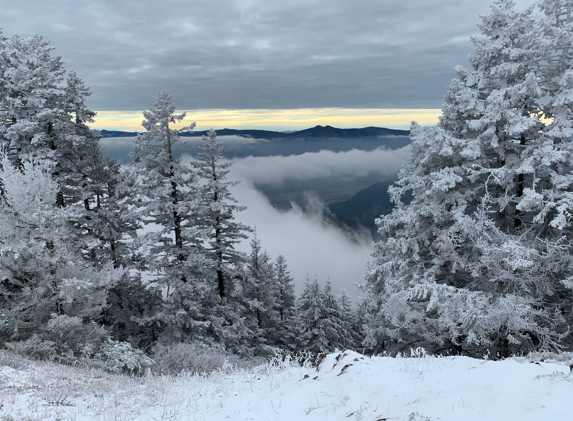
At the start, the summit was covered by a cloud that I was worried wouldn’t burn off by the time I got up, but when I did get up, the peak was poking above the fog, and below another cloud layer that was about as high up as Mt. Hood, making for some lovely clouds to watch rolling across the hills. Also the whole top was frosted over and slightly below freezing, but was fortunately not slippery.
There’s unconfirmed speculation that the landslide here coincides with one of the huge earthquakes that cause giant tsunamis along the coast every 400 years or so, but some data trying to date these things don’t quite line up entirely with the estimated date of the landslide, which is around 1450.
Another fun fact, the whole region is tilted slightly southward, which tends to make the Washington side of the Columbia River have landslides like this one, and the Oregon side has tall cliffs with fancy waterfalls.
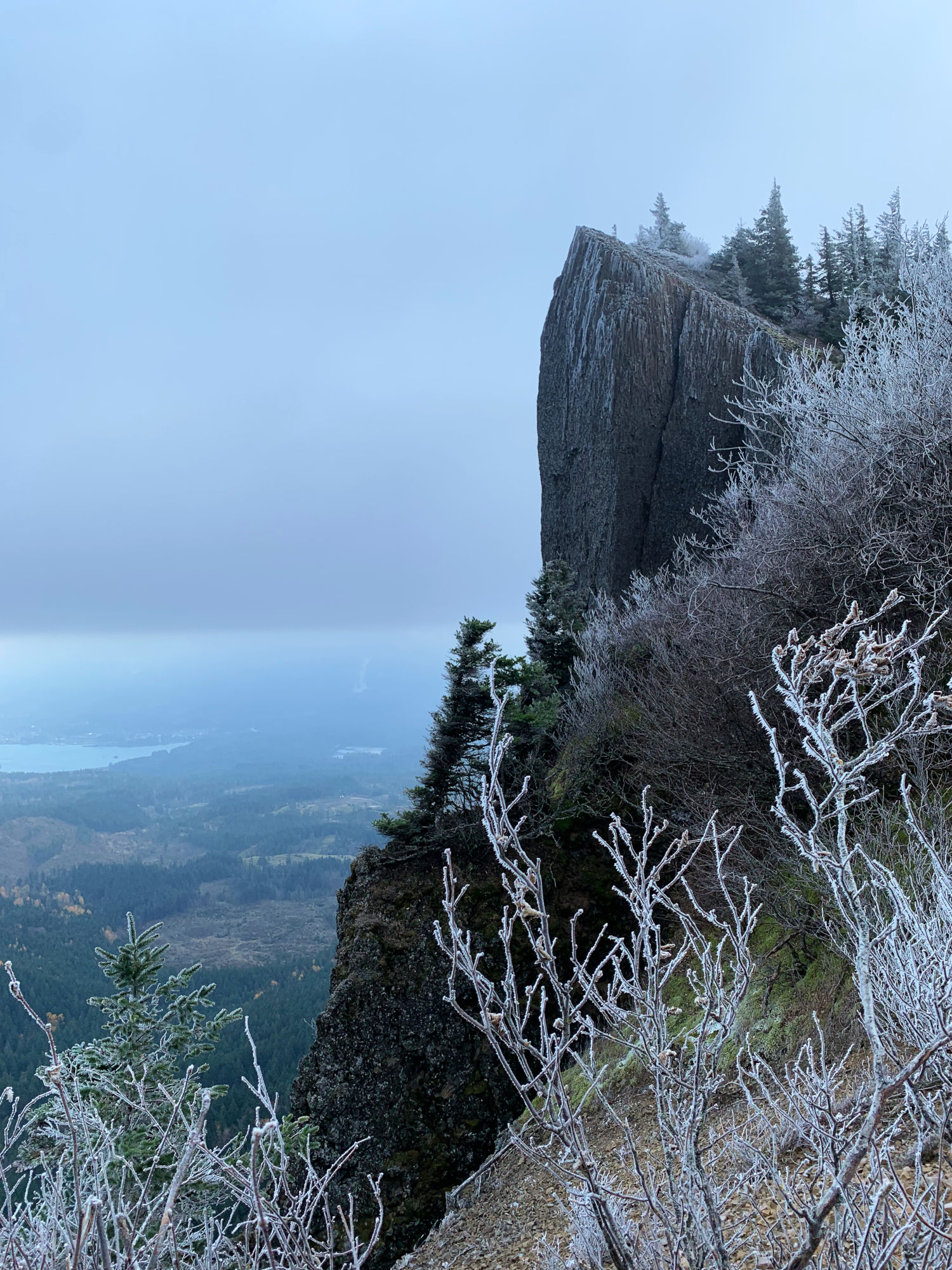
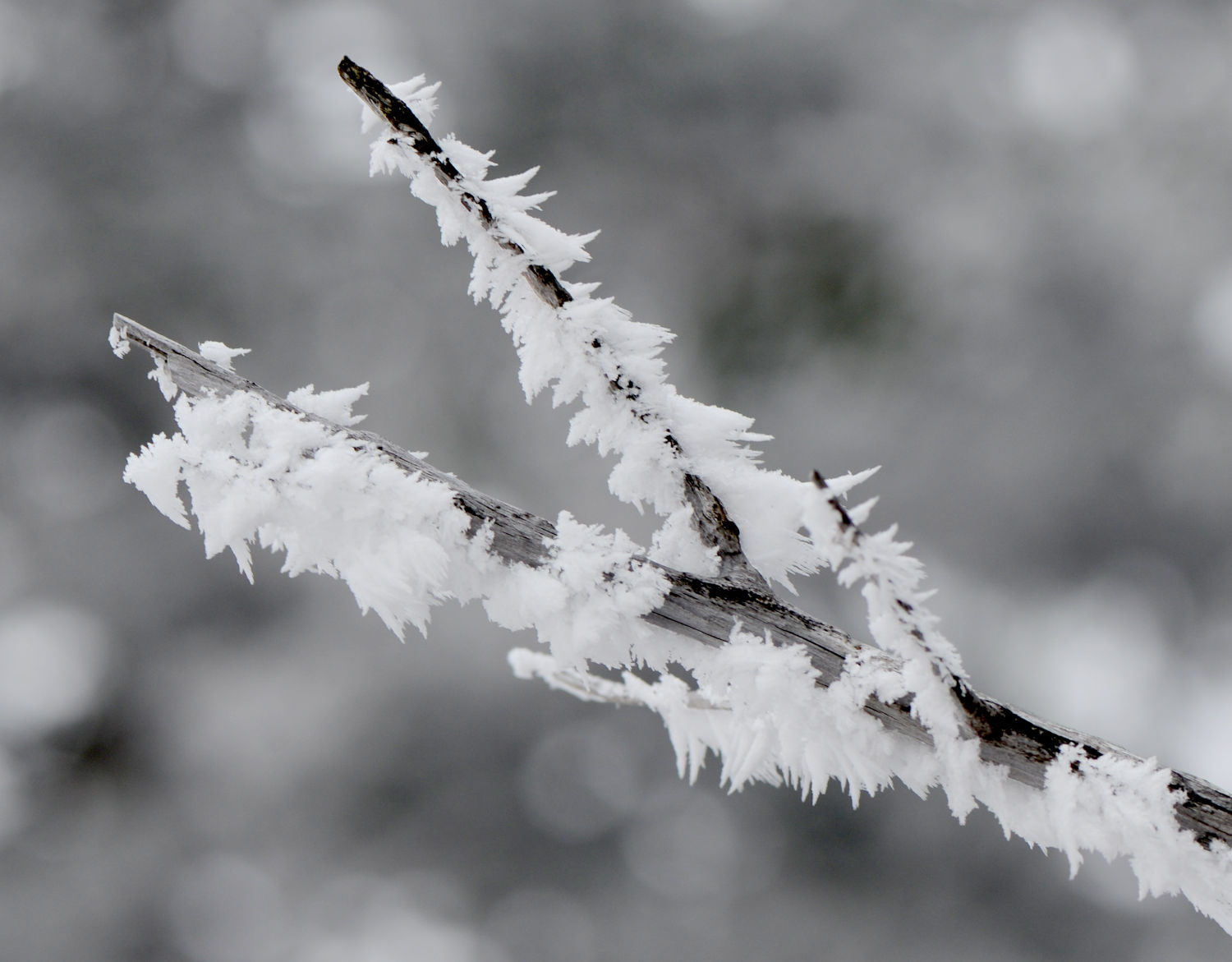
The trail goes across some low hills for several miles, then slopes upbruptly upward. There are a couple different ways to the top. One way goes along the Pacific Crest Trail, and another goes up Heartbreak Ridge, part of which you can see in the next photo. I must assume that each of those rocks is from a former hiker whose heart is broken from the effort!
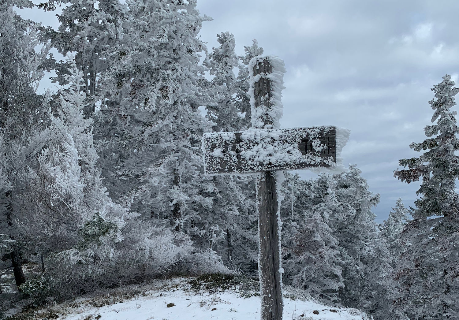
If you squint, the upper part of this sign kind of looks like a snow swept, grizzled old mountain man, but maybe that’s just me.
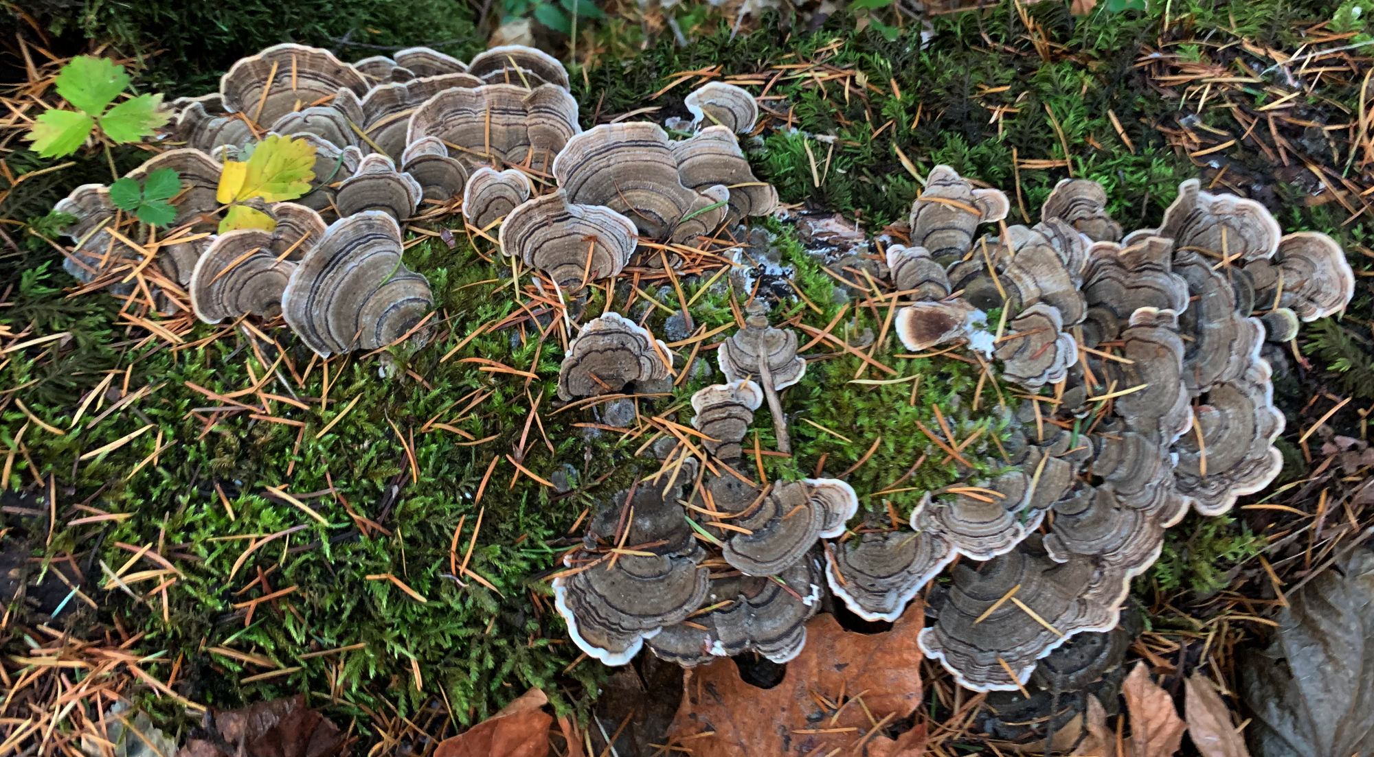
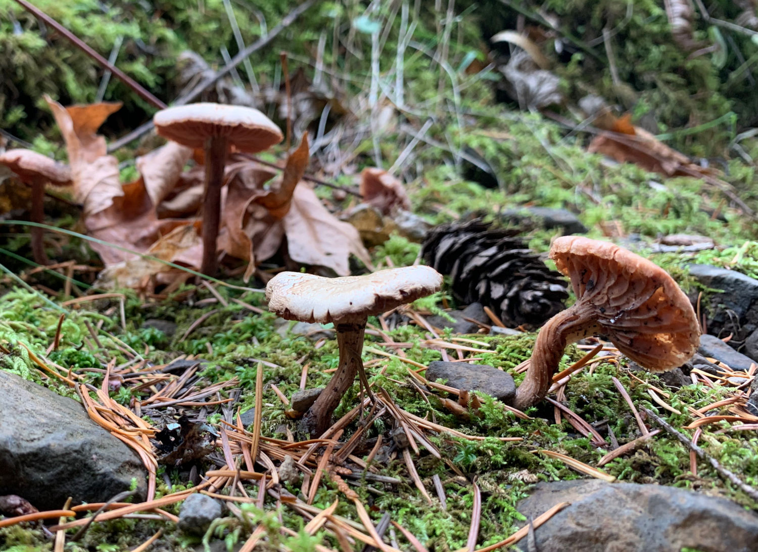
Down back under the frost zone, there were some late season mushrooms having a good time:
If you want to learn more about Table Mountain and the Bonneville Landslide, check out this fabulous diagram by Daniel Coe, or perhaps this talk by Nick Zentner!

View Larger Map